

|
|
WetlandUpdate September 2026Fitzroy Great Barrier Reef Connecting Catchments Aquatic Conservation Assessment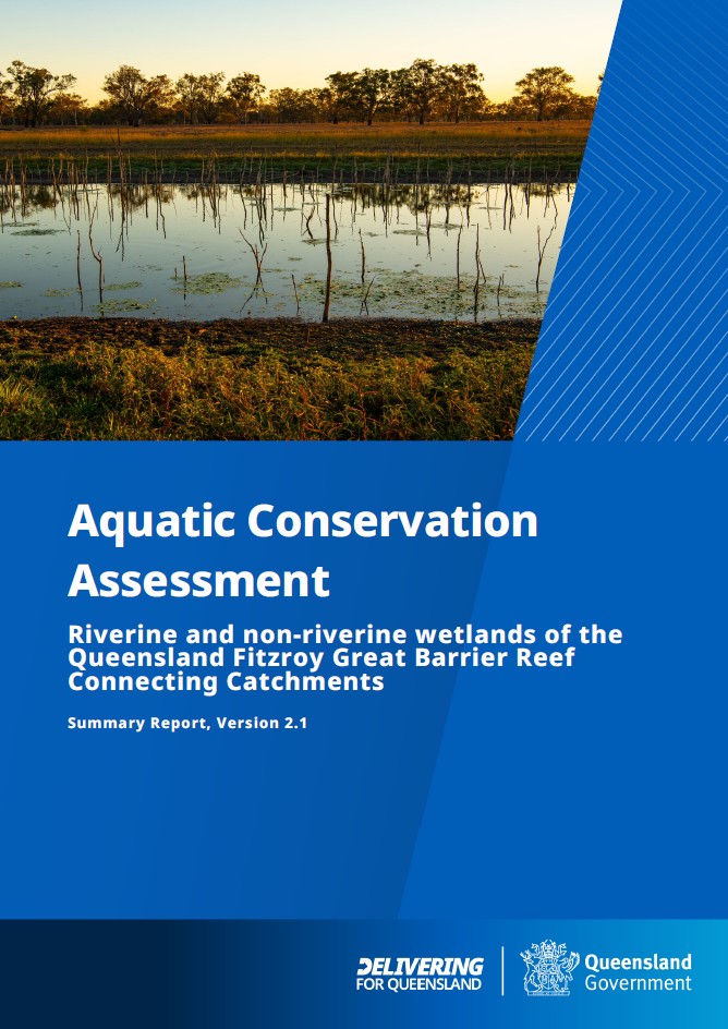 Updated Aquatic Conservation Assessments (ACAs) are available for the riverine and non-riverine (i.e. palustrine and lacustrine) freshwater wetlands for seventeen catchments in the Fitzroy Great Barrier Reef Connecting Catchments. The results of the Fitzroy Great Barrier Reef connecting catchments ACA supersede the ACAs from the Great Barrier Reef Catchments Riverine ACA (v1.1) and Great Barrier Reef Catchments Non-riverine ACA (v1.3). View the Fitzroy Great Barrier Reef Connecting Catchments Summary Report, Flora, Fauna and Ecology Expert Panel Report and Information Sheet. The riverine and non-riverine data and reporting (information on specific environmental values, by location) may be accessed through WetlandMaps. Information on specific environmental values, by location, is also available via Environmental reports online. For further information on AquaBAMM and the ACA results email biodiversity.planning♲detsi.qld.gov.au.
Catchment Stories: Burrum, Kolan and Horticulture Wide Bay-BurnettTo effectively manage a catchment it is important to have a collective understanding of how it works. Catchment stories use map journals, integrated spatial information, photographs, animations and an informative narrative to demonstrate the features of catchments. These stories describe the location, extent and values of the Burrum catchment (which includes the Burrum, Isis, Gregory and Elliott catchments), Kolan catchment, and tells the story of Horticulture in these regions. The stories demonstrate the key features which influence water flow, including geology, topography, rainfall and run-off, natural features, human modifications and land uses. The stories also contain key information on the values of the catchment. The Horticulture Wide Bay-Burnett Catchment Story explains the background and importance of Horticulture in the region. The information was compiled using the walking the landscape process, where experts systematically work through a catchment in a facilitated workshop, incorporating diverse knowledge of the landscape, to develop catchment stories. The links below will take you to the catchment story page, which includes a transcript. Click the link at the top of the catchment story page to go to the Catchment Story:
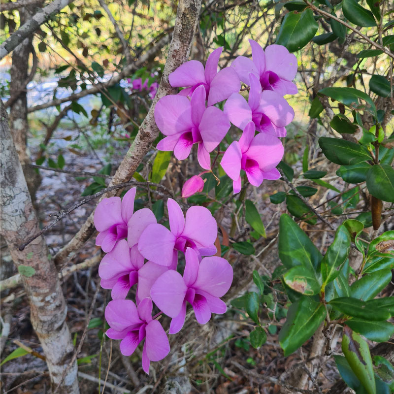 New Ecology pages - Pollinators and PollinationTwo pages have been added to the Ecology section, to assist with identifying and understanding the components and processes of wetlands in the broader catchment, as part of the Whole-of-System, Values-Based Framework:
Mangrove dieback and recovery in the Gulf of Carpentaria Map Story updatedThe Mangrove dieback and recovery in the Gulf of Carpentaria Map Story has been updated with new reports for each mangrove community, updated links and other functionality improvements. 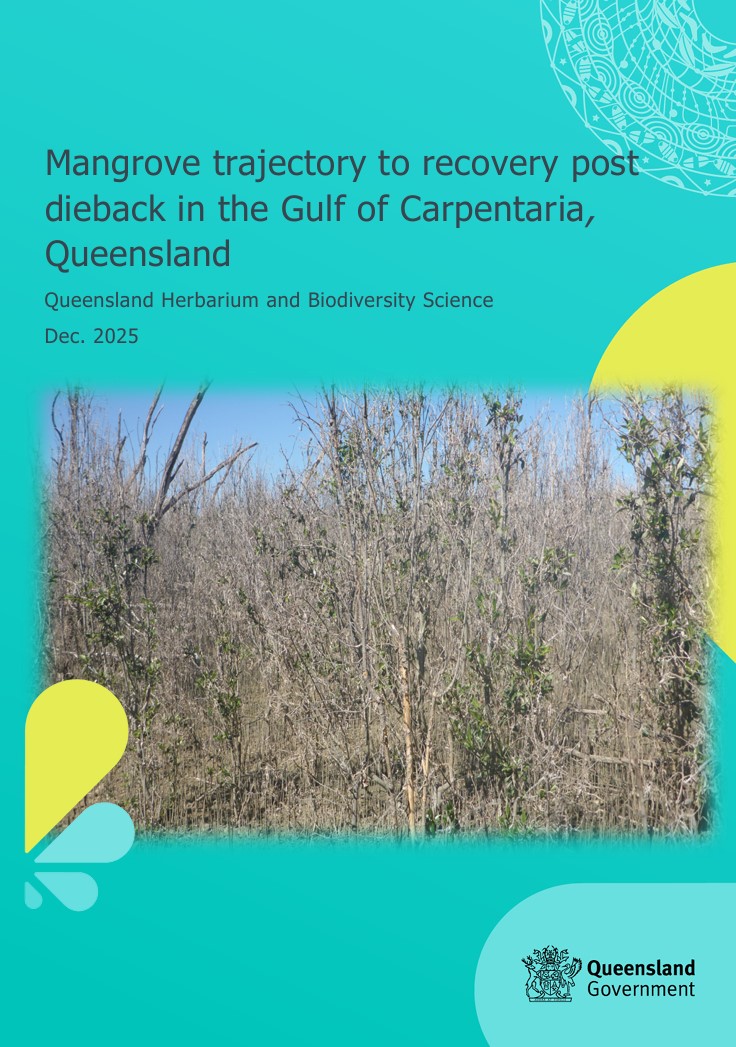 The information provided in the Mangrove dieback and recovery in the Gulf of Carpentaria Map Story is based on the updated Mangrove trajectory to recovery post dieback in the Gulf of Carpentaria, Queensland report (released 2025). It provides updated statistical information on mangrove change by catchment across the Queensland portion of the Gulf of Carpentaria and establishes a baseline to monitor the trajectory of recovery or decline of the mangrove and associated communities[1].
Mapping shellfish reefs in southeast Queensland for protection, management and restoration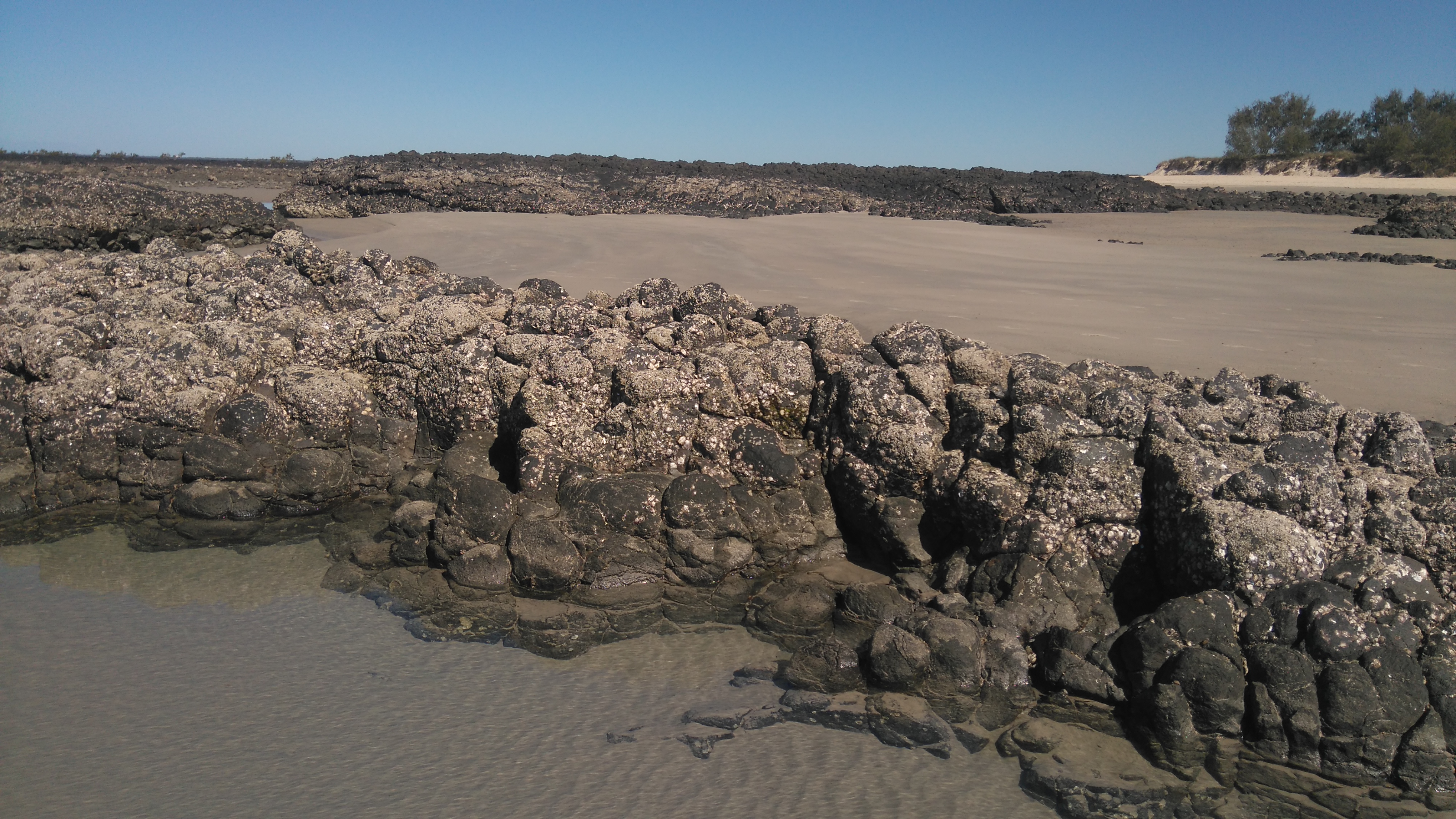 The Shellfish Reef Mapping in South East Queensland (report) has been added to Intertidal molluscs including shellfish reefs, shellfish veneers and isolated shellfish individuals and Structural macrobiota composition pages. The project was undertaken as a collaboration between the Global Wetlands Project (GLOW), Griffith University, the University of the Sunshine Coast, and the Queensland Government.
Updated pages on Climate ChangeThe Changes in Climate and Assessing climate variability and wetlands pages have been updated. The page structure and written content were updated, and include reference to new blue carbon content on Queensland Government site and new reports.
UpdatesUpdated layers on WetlandSummary and WetlandMapsPrograms, Policy and Legislation pagesReviewed and updated content to maintain accuracy and relevance, including: Additional links
WetlandUpdateThe WetlandUpdate is a regular bulletin sent to subscribers to provide you with the latest WetlandInfo resources and tools, as well as case studies, video information and new project fact sheets. WetlandInfo feedback and improvementsContact us via email for feedback, information or questions about wetlands. WetlandInfo feature species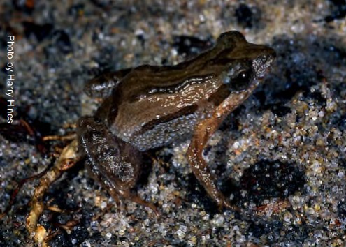 The feature species for September 2026 is Crinia tinnula, the wallum froglet. The wallum froglet (Crinia tinnula) is a small (up to approx. 20mm) species of frog found in the coastal habitats of Queensland and New South Wales, ranging from as far north as Bundaberg, down to the very south-east corner of the State. These frogs are highly specialised, requiring acidic (pH <6.0, sometimes low as 4.3), freshwater wetlands, such as Melaleuca swamps, sedgeland, wet or dry heathland and wallum/woodland. Unlike many other species, the wallum froglet may breed throughout any season of the year, waiting for suitable weather conditions instead of a particular period on the calendar. Therefore, it is one of the few frogs that can be heard during winter. Due to its small size, C. tinnula can be very difficult to find, even when calling nearby. Identification is best achieved by its unique call. If spotted, it is possible to identify it by a thin, pale belly line, despite its highly variable colours and patterns and similarity to other local Crinia species. The back may be a variety of browns, greys, beiges or even red, and the underside, while typically white, can have dark patterns such as spotting or patches. This froglet also has no webbing present on its feet, and lacks padding or discs on its toes. Additional information
This section is updated regularly, so stay tuned for more! References
Last updated: 9 July 2026 This page should be cited as: Department of the Environment, Tourism, Science and Innovation, Queensland (2026) WetlandUpdate September 2026, WetlandInfo website, accessed 17 September 2026. https://wetlandinfo.detsi.qld.gov.au/wetlands/resources/publications/latest-news/2026-07-28.html |


Site footer


 — Department of the Environment, Tourism, Science and Innovation